01
Regional Scenario Modeling
Model land-use, crop-mix, and input scenarios at regional scale to see the macro trade-offs before committing public resources. Compare alternative futures on the same evidence base.
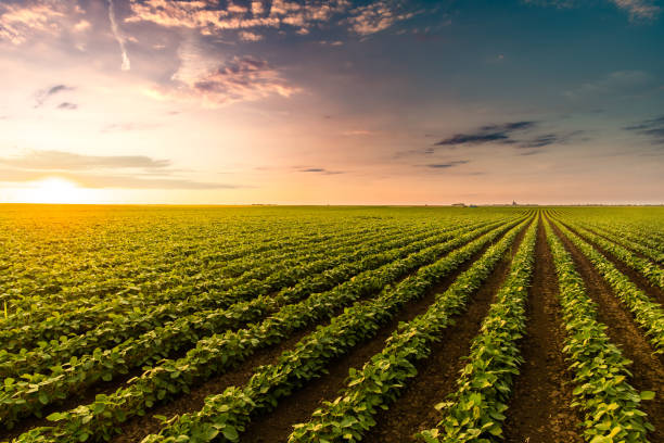
AgrolandCompass gives regional and provincial governments a transparent, evidence-based way to model land-use, crop-mix, and input scenarios at territorial scale — and weigh emissions, water, food output, and economic impact side by side, before public money is spent.
Land-use plans, subsidy schemes, and sustainability targets are set across ministries, consultancies, and spreadsheets that rarely agree. The trade-offs between food output, emissions, water, and economic impact are hard to see until after the budget is committed. AgrolandCompass turns that into one transparent, auditable model of your territory.
The same scientific models proven at farm scale, aggregated to the level of a province, region, or whole territory — built on peer-reviewed methodology, not a black box.
Model land-use, crop-mix, and input scenarios at regional scale to see the macro trade-offs before committing public resources. Compare alternative futures on the same evidence base.
Weigh emissions, water use, food output, and economic impact side by side, so public decisions rest on transparent evidence instead of assumptions or lobbying.
EROI, emissions, and resource balances aggregated across a region — the audit-ready basis for public reporting and compliance, proven with the Menorca municipality.
The optimization, energy-return, and explainable-decomposition methods behind AgrolandCompass come from years of peer-reviewed academic research — and have already informed public-policy decisions on real regional data.
Built on research carried out at the Universitat Autònoma de Barcelona, where the underlying methods were developed and published.
Used with the Menorca municipality on real regional data to inform public-policy decisions — not a theoretical exercise.
Every result is decomposed into the factors that drive it, from your own territorial data. Defensible numbers for public reporting, with no black box.
We load your regional land-use, crop, climate, and resource data — from the systems and registries you already maintain.
Define the policy questions and alternatives that matter, and the engine models the macro trade-offs across emissions, water, output, and economics.
Get audit-ready territorial sustainability reports and ranked scenarios that public bodies can act on and defend.
Tell us about your territory, the policy questions you're facing, and the data you hold. We'll prepare a focused conversation around a concrete pilot for your region.